
It can be considered either destiny or a mere coincidence, but early Islamic geographers had an interesting concept of South Asia. They bifurcated the region into two portions which they often referred to as “As-Sind wal Hind” (Sind and Hind). These were two regions whose borders today peculiarly correspond roughly to the regions forming modern Pakistan and India.
Of the early Islamic concepts of Sind and Hind.
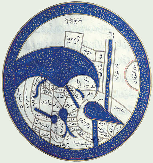
The concepts of South Asia have differed throughout the centuries based on the understandings that various foreign nations had of the region. The division of South Asia into multiple portions, though a much archaic concept, first appeared as a properly solidified concept in Islamic Geography in 840 CE when the geographer Ibn Khordadbeh used the term “As Sindh Wal Hind” (Sindh and Hind) to define South Asia in his book “Kitab Al-Masalik Wal Mamalik” (The book of Roads and Kingdoms). Though what’s most intriguing is how close Ibn Khordadbeh’s geographic boundaries of Sind lie to the modern borders of Pakistan.
In the South-East Ibn Khordadbeh’s Sind encompassed the lower Indus Valley which today is known as Sindh or Sindh proper. It’s western borders were roughly marked by the borders of the region of Makran (Which he considered a part of Sind) with the borders of Kirman, the area which now exactly forms the division of the Pak-Iran border. Above Makran was the region of Turan which formed what is now the central portions of Balochistan. The rough similarity of Khordadbeh’s western and eastern frontiers of Sind to the western and eastern borders of Pakistan is to the point that the last areas he mentions in the west alongside Makran and Turan was the region known as Al-Qiqan whereas in the east it was Al-Multan. The area of Al-Qiqan today forms the Quetta-Pishin region where one of the largest border crossings of Pakistan with Afghanistan exists. Much similarly the region of Multan forms the easternmost areas adjacent to the modern border between Pakistan and India.
But of all the many interesting things that Khordadbeh’s Sind encompassed, he also wrote of a region north which certain scholars view to be a reference to the region of Gandhara. If so, Khordadbeh’s Sind would’ve stretched from Pushpapura to Debul, From Peshawar to Karachi. This classification, both geographical and literal, seems to be well ingrained since the historian Al-Masudi would also later refer to the mountainous portions of Gandhara as the mountains of Sind.
Whether considered destiny or coincidence, it speaks only of the fact that the Indus Valley as a specific geographic region is a very old concept and that it’s geographic areas roughly correspond to the modern state which holds it.
Interesting history.